
PROFESSIONAL EQUIPMENT / CANADA
Land surveying drone rental.
Equip your survey workflow with suitable aerial capture and positioning tools. Accuracy is a project requirement, not an automatic result of renting a drone.
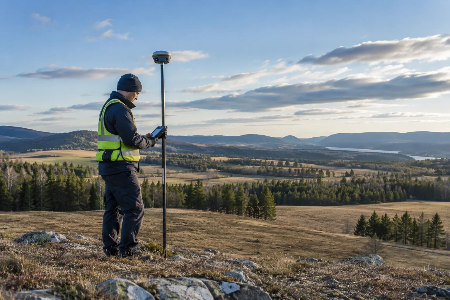
PLAN THE CAPTURE
Start with the deliverable.
Discuss checkpoints, coordinate reference systems, correction sources and the professional requirements of your jurisdiction. Where licensed survey work is required, retain the appropriate professional. We can help scope the capture equipment or a pilot request.
Typical outputs
Survey imagery, control-supported models and spatial datasets for your professional workflow.
Include in your brief
Survey purpose; tolerances; control network; correction source; deliverables.
SCOPE MY PROJECTExplore suitable equipment
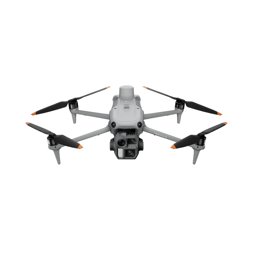
DJI Matrice 4E
A compact mapping system for photogrammetry, construction documentation and repeatable site capture.
REQUEST RENTAL PRICING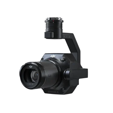
DJI Zenmuse P1
A full-frame photogrammetry payload for high-detail aerial mapping.
REQUEST RENTAL PRICING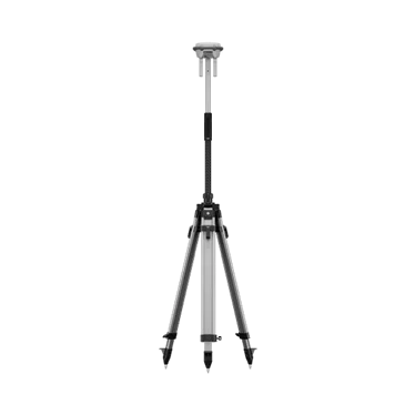
DJI D-RTK 3
A positioning accessory for compatible DJI enterprise survey and mapping workflows.
REQUEST RENTAL PRICINGNeed the operator, too?
Request a drone and pilot together. The site, airspace, qualifications and deliverables are reviewed as part of project feasibility.
REQUEST DRONE + PILOT
Where is your project?
EXPLORE INDUSTRIESYOUR NEXT PROJECT
The right system starts with the right questions.
Tell us where, when and what you need to capture. We’ll help scope the equipment around your work.