
PROFESSIONAL EQUIPMENT / CANADA
Agriculture drone rental.
Collect timely aerial data for crop scouting and field variability assessments.
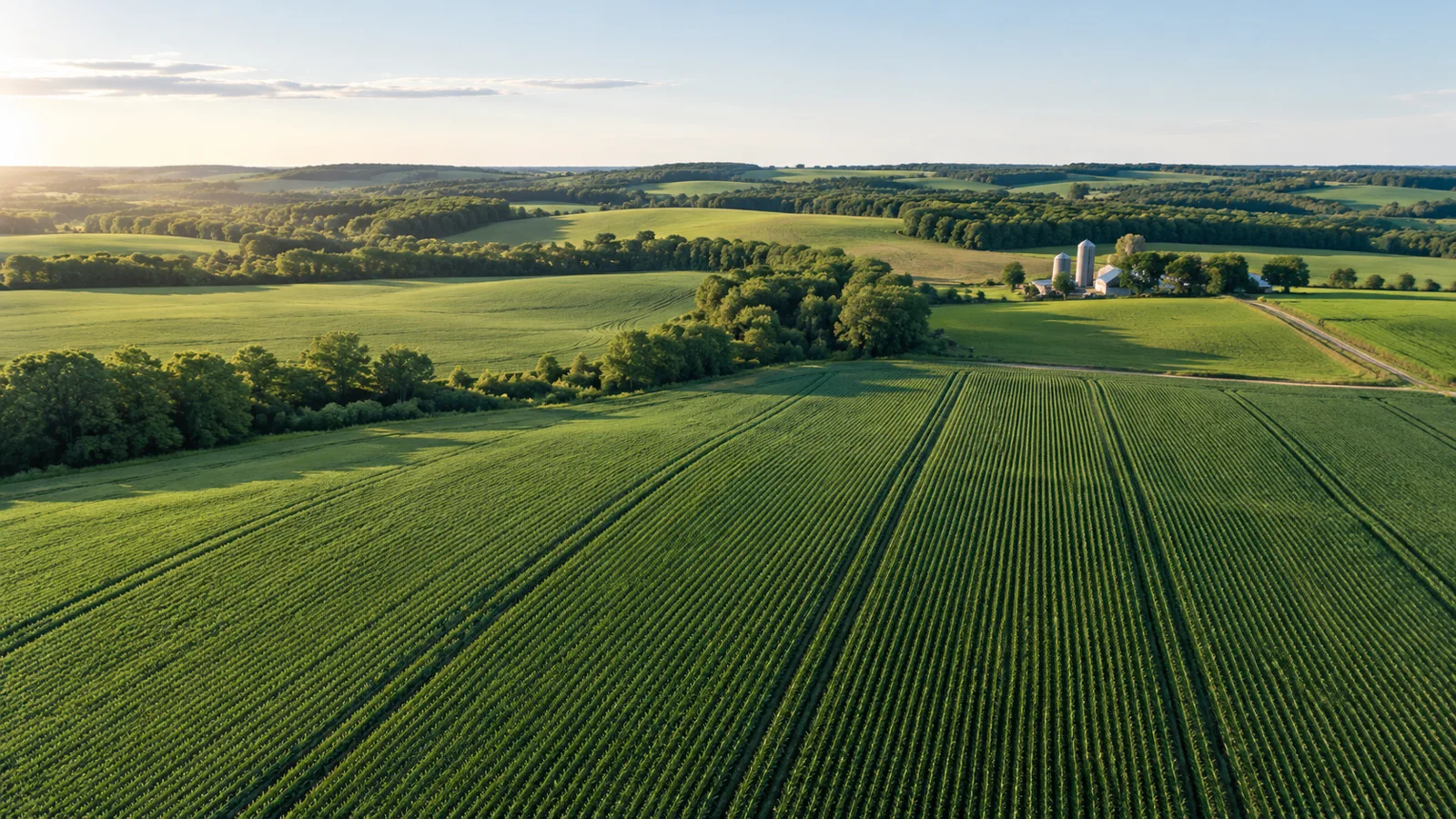
BUILT AROUND YOUR MISSIONFrom fieldwork to final deliverable.
PLAN THE CAPTURE
Start with the deliverable.
Crop stage and capture timing matter as much as sensor choice. Share the crop type, field area and analysis software. Vegetation indices support investigation and should be interpreted with ground observations and agronomic context.
Typical outputs
RGB field imagery and multispectral datasets for agronomic analysis.
Include in your brief
Crop; acreage; growth stage; analysis workflow.
SCOPE MY PROJECTExplore suitable equipment
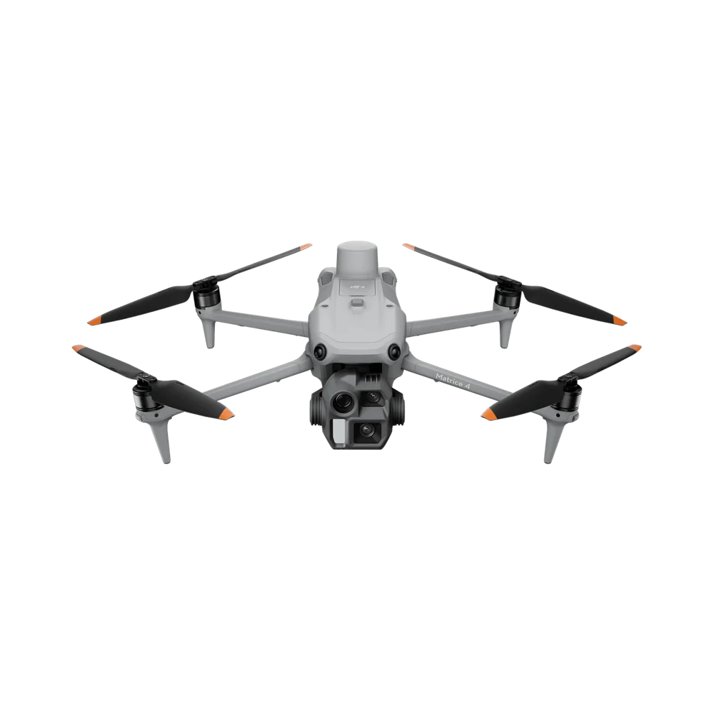
Need the operator, too?
Request a drone and pilot together. The site, airspace, qualifications and deliverables are reviewed as part of project feasibility.
REQUEST DRONE + PILOT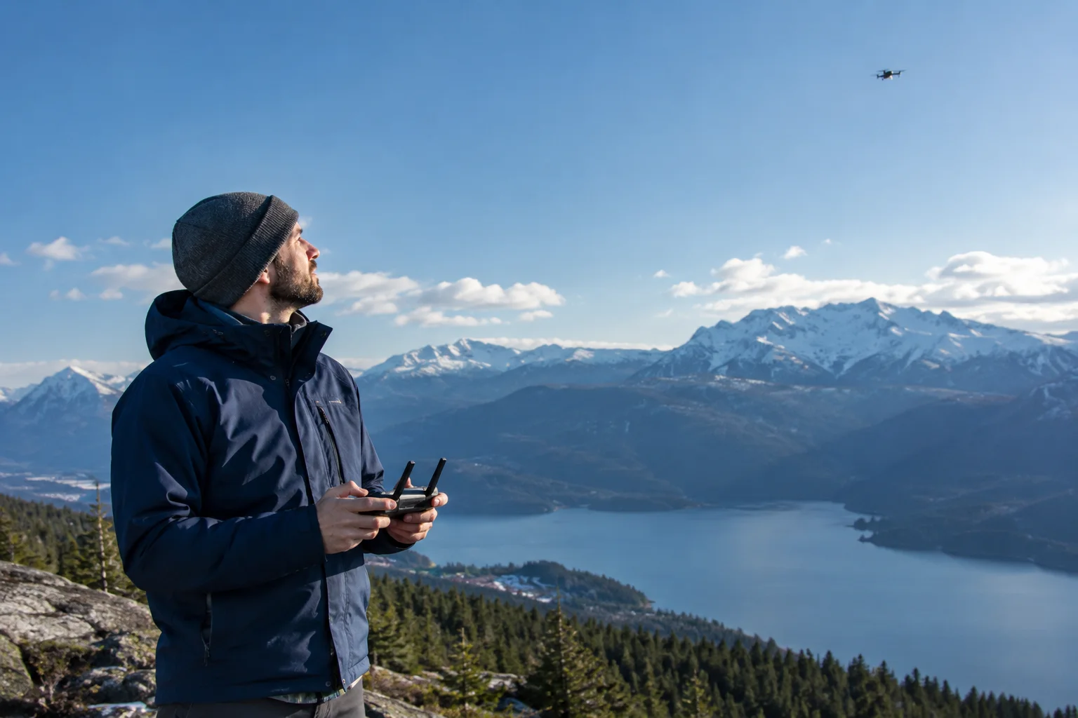
Where is your project?
EXPLORE INDUSTRIESYOUR NEXT PROJECT
The right system starts with the right questions.
Tell us where, when and what you need to capture. We’ll help scope the equipment around your work.